
Ohneganos Terrastories Map
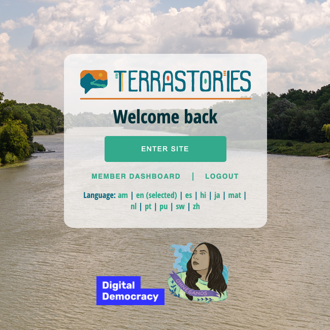
With the support of Digital Democracy, the digital software that we are using to create our Indigenous map is called Terrastories.
Click the image or button below to access the Ohneganos Terrastories Map!
Username: viewer@ohneganos.com Password: ohneganos
Six Nations Community Mapping
The Ohneganos Mapping Team is integrating Six Nations community knowledge and cultural history into a Community Map. We are asking community members to share stories, pictures, and videos of Six Nations. This project aims to decolonize our land by highlighting locations, people, oral storytelling traditions and places of significant meaning.
Information that will be included in the Ohneganos Indigenous map may include:
Indigenous place-names for land areas and water features;
Historic, sacred, or cultural sites of significance;
Changes in habitat and animal movement patterns;
Current locations (and historical changes) of culturally and/or ecologically significant plant and animal species;
Ohneganos project data;
…and much, much more!
Do you have knowledge, maps, or info that you would like to share? Reach out to us at cm.sixnations@gmail.com.
Resources

Training Guide
Click below to access the Training Guide!

FREE Support Materials!
Click below to access a collection of Terrastories training & technical resources.
Learn more from Chris and Rudo #IMW2021.
Check out this digital story about Terrastories by Natalie!